Cellular growing consumer group Honor has reinforced their investment in AI with a promise to transform how users work and live. The smartphone industry…
4 things to know about the ‘winter’ cold fronts striking Cape Town this weekend

In an update on Thursday, the South African Weather Service (SAWS) explained in more detail what sort of weather Cape Town, and other areas in the country, will be experiencing this weekend.
This comes after it issued advisories and watches on Wednesday for both regions.
Although it’s still spring, the weather service noted that a series of “typical winter” cold fronts can be expected to affect Cape Town and surrounds from Friday.
Media release: Typical winter days for the south-western parts, but persistent heat wave conditions over north-eastern South Africa. pic.twitter.com/UdwHLOW4O2
— SA Weather Service (@SAWeatherServic) October 24, 2019
Here are a few key points outlined in the Thursday afternoon update:
Two cold fronts are expected this weekend
The first cold front will arrive late on Thursday night.
The second will impact the region on Sunday.
“The cold front that is expected to move through tomorrow, Friday, will result in rain and showers settling over the south-western parts in the early hours of the morning, spreading to the east during the course of the day.”
Rainfall amounts could total 50mm in some parts
Total rainfall amounts expected to top 20mm across Cape Town’s metropolitan area, but could jump up to 50mm over the Western Cape’s mountains.
SAWS warns that those in low-lying areas and informal settlements to be weary of localised flooding.
Strong wind gusts expected
SAWS explained that the southern interior of the country can expect north-westerly wind gusts of 60km/h.
Windy conditions is expected “over most part of the Cape provinces”, it added.
The second cold front brings rain on Sunday until Tuesday
Sunday’s cold front is expected to last until Tuesday with a “high pressure system ridging behind the front, circulating cold air”.
This could mean lower-than-normal temperatures for the Western Cape early next week.
Other advisories
SAWS also reminded those in South Africa’s northerly provinces that a heatwave advisory is in effect.
“[O]n Monday, the maximum temperature will be above 36°C for most of Limpopo and the Lowveld of Mpumalanga,” the service concluded.
Follow South African Weather Service
Weather is fickle and subject to change, so we’d recommend following SAWS on its official Twitter account, especially for updates on the Cape Town cold fronts.
And be sure to bookmark its warnings portal too, where it regularly updates the advisories and more serious information on the daily.
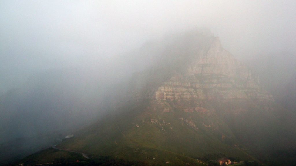
Feature image: Table Mountain shrouded in rain clouds in 2010, by warrenski via Flickr (CC BY-SA 2.0, resized)


