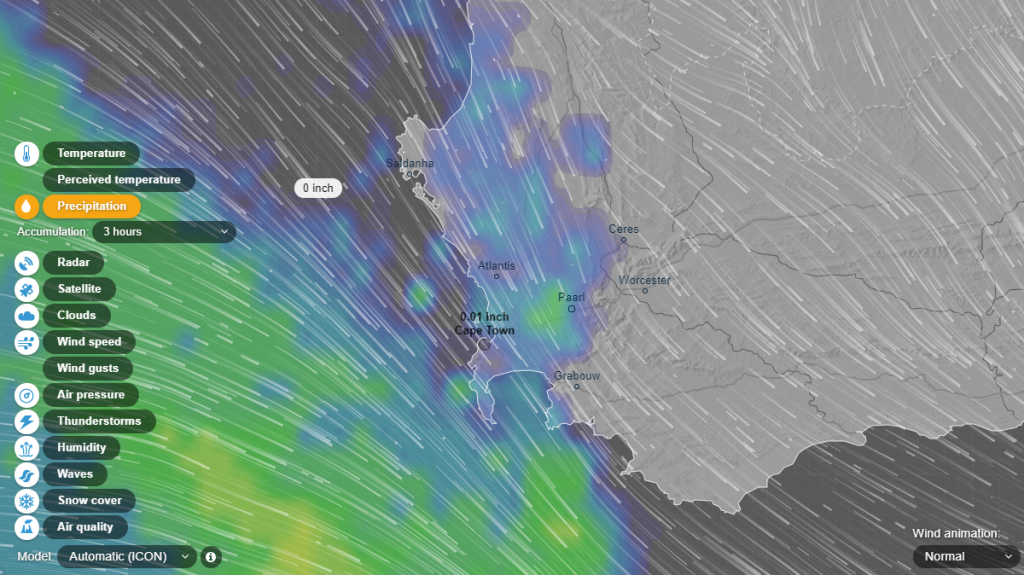
You might’ve heard passing reports about Cape Town’s inclement weather forecast today. These reports suggest that the oncoming cold front will be one of the fiercest the city has seen in quite some time.
While you’ll likely need an umbrella before leaving the house tomorrow, you can also track the progress of the front as it sweeps across the peninsula.
No ad to show here.
Cape Town’s winter storm coverage:
Cape Town storm: what’s running, delayed or cancelled in the city
#StormHelen: Twitter names Cape Town’s storm after Helen Zille
Alerts ring across Twitter as Cape Town’s Wednesday storm bears closer
Much like hurricanes and other weather systems, cold fronts can be tracked by weather radar and satellite imagery. And thankfully, a few sites have a knack for condensing this information into bite-sized pieces for users to digest.
Ventusky, Meteoearth and Wunderground’s Wundermap are three of the better examples.
Ventusky
Ventusky is easier on the eye, lighter on resources and seemingly more customisable than the two alternatives. It allows users to visualise current and future weather conditions, cloud cover, accumulated rainfall and wind strength from a tab on its left hand side for up to 10 days.
Thunderstorms, snow cover, freezing levels and even ocean conditions can be viewed as well.
The site should detect your location immediately after visiting, but it also allows users to search for specific regions in the top-left toolbar.
Meteoearth
Meteoearth is a little more complicated for the novice user, but does include more granular wind forecasts.
Additionally, visitors can also navigate to any point on the map to see more precise temperature, wind and pressure information at a specific location.
The site allows users to share maps with others via social media or embed maps within other websites too.
You can also view the maps on mobile devices via the Android or iOS app.
Wunderground’s Wundermap
Finally, Wundermap is better for users interested in closer inspection of specific districts. The site makes use of satellite imagery and user-operated weather stations to provide more granular temperature and wind conditions in suburbs and towns.
While the map is hauntingly slow to load various elements, it is an excellent way of gauging just how much rainfall has fallen across Cape Town’s various areas.
