Donald Trump’s call for Netflix to remove board member Susan Rice has intensified the Paramount saga, pushing the streaming wars into a political confrontation.
SAWS issues a flood warning for Cape Town from Thursday night into Friday

In case you thought shivering at the office was your only issue today in Cape Town, there’s a chance that you may be swimming home too.
The South African Weather Service (SAWS) on Thursday afternoon issued a weather warning for parts of the south western Western Cape. A cold front is currently passing through the region.
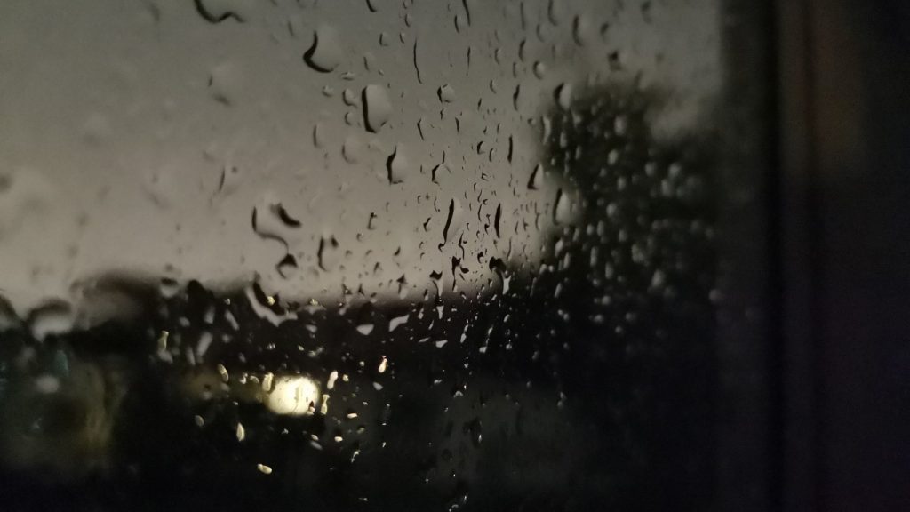
⚠ Warning ⚠ 18/07/2019 22h00 TO:19/07/2019 08h00 Heavy rain leading to localised flooding is expected on places in the Cape Metropole, Overberg and the Cape Winelands tonight (Thursday) into tomorrow morning (Friday).
— SA Weather Service (@SAWeatherServic) July 18, 2019
“Heavy rain leading to localised flooding is expected on places in the Cape Metropole, Overberg and the Cape Winelands tonight (Thursday) into tomorrow morning (Friday),” reads the warning, which is in effect from 10pm tonight.
While the rain is good news for Cape Town’s dams — which are currently more than 61% full — flood warnings are generally bad news for low-lying and naturally wet areas, like the Cape Flats.
Afternoon satellite image (18 July 2019) – Cold front to the south-west of RSA with pre-frontal clouds over the south-western parts of the country, otherwise sunny. Enjoy, be safe and do something good today. @ReenvalSA
How are you spending your #67minutes this #MandelaDay2019? pic.twitter.com/kZhvJXEp9l
— SA Weather Service (@SAWeatherServic) July 18, 2019
The warning comes to an end at 8am on Friday morning, but the cold front will likely leave behind some bitterly cold air across the region this weekend.
Feature image: Andy Walker/Memeburn


