Bitcoin has surged to its highest level in a month as global risk sentiment improves and Donald Trump signals renewed support for the crypto sector.
These people are getting very wet reporting on Hurricane Florence

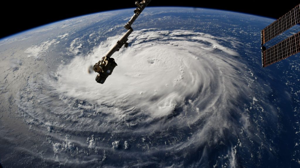
Hurricane Florence is just a few kilometres east of North Carolina at the time of writing, but hurricane-force winds have been lashing the US east coast since late Thursday.
As is customary with hurricanes in the modern era, a few fearless meteorologists, reporters and camerapeople are braving the conditions to broadcast live images to stations and social media across the world.
Nat Geo photographer Mike Theiss is one such example.
Intense band from Hurricane #Florence swirling through Wrightsville Beach right now causing strong winds and torrential downpours !! Currently a barometric pressure of 989mb. pic.twitter.com/mA8X0em9dy
— Mike Theiss (@MikeTheiss) September 14, 2018
Mike Seidel, who’s one of the unfortunate field reporters for the Weather Channel, captured this video five hours ago.
The strongest tropical band from #Florence is hammering us now on the intracoastal in Wilmington, NC.
Winds gusted to 63 MPH.#tropical pic.twitter.com/G7HaAg7k77— Mike Seidel (@mikeseidel) September 14, 2018
Storm hunter Mark Robinson had a much better idea by staying in the car (although it seems that’s not really what he actually wants to do).
Serious gusts roaring over this parking lot in southern Wilmington. @weathernetwork @jwhittalTWN @georgekourounis #Florence pic.twitter.com/GBLZ2RDMOF
— Mark Robinson (@StormhunterTWN) September 14, 2018
Others ensured their reporters were in the safety of the studio.
The Weather Channel debuted this AR representation of the storm surge expected. It’s no less horrifying than the actual videos from the ground.
Storm surge will be a huge factor for Hurricane #Florence Check out what it might look like with @TWCErikaNavarro: pic.twitter.com/TPqTZTmiAM
— The Weather Channel (@weatherchannel) September 13, 2018
The eye of Hurricane Florence is set to strike the North Carolina coastline in the next few minutes. The storm is set to move slowly across North Carolina this weekend.
Feature image: NASA


