Bitcoin has surged to its highest level in a month as global risk sentiment improves and Donald Trump signals renewed support for the crypto sector.
SAWS explains why the Bapsfontein ‘tornadoes’ were just ‘gustnadoes’

The South African Weather Service (SAWS) on Thursday issued an educational media release describing the differences between tornadoes and “gustnadoes” which were observed in Gauteng and Mpumalanga on Wednesday.
This comes after videos and images were uploaded to social media documenting the phenomena.
🔴 🌪 BREAKING: Multiple reports of POSSIBLE TORNADO spotted between Bapsfontein in Gauteng & Delmas in Mpumalanga | Video: @J4yZA pic.twitter.com/SUA1e85X2A
— Gauteng Weather (@tWeatherSA) November 20, 2019
And yes, there is a difference.
“On Wednesday 20 November 2019 ‘tornadic’ shaped vortices were observed between Delmas [Mpumalanga] and Bapsfontein [Gauteng] between 2pm and 5pm SAST,” began the media statement.
Gustnadoes observed near Bapsfontein yesterday (20 November 2019). It is Not a tornado. Find out below. pic.twitter.com/GrGnxBnJOl
— SA Weather Service (@SAWeatherServic) November 21, 2019
SAWS noted that while gustnadoes — or dust devils — look like tornadoes, they are meteorologically different.
For one there was no visible “condensation funnel cloud extending from the cloud base to the ground” nor were Wednesday’s gustnadoes “associated with supercell thunderstorms.”
SAWS also likely issued the release to quell rumours, something that the service was also forced to do after hoax tornado warnings swept across Ekurhuleni in October.
Either way, we feel “gustnadoes” is a much cooler name.
Inclement week of weather in South Africa
Tornadoes and other severe weather phenomena have been a topic of public conversation since a duo struck various parts of rural KwaZulu-Natal last week.
Gauteng has also experienced some inclement weather this week, with flooding in parts of Centurion observed by residents on Wednesday.
Follow the South African Weather Service
Weather is fickle and subject to change, so we’d recommend following SAWS on its official Twitter account, especially for updates during South Africa’s summer rainfall season.
And be sure to bookmark its warnings portal too, where it regularly updates the advisories and more serious information on the daily.
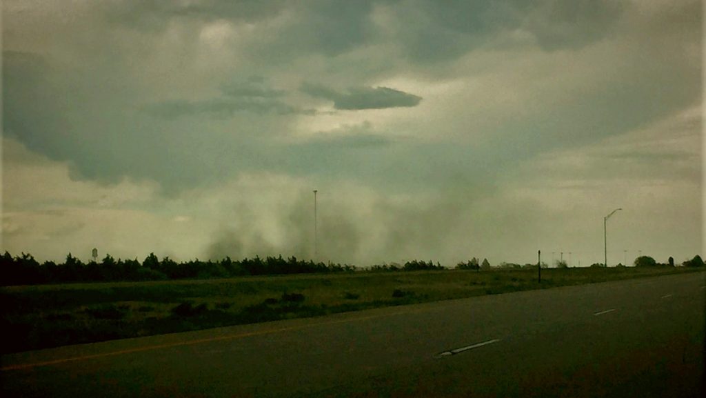
Feature image: A gustnado forming in Colorado, US in 2017, by Jessica Kortekaas via Wikimedia Commons (Public Domain)


