Elon Musk’s AI chatbot Grok has once again found itself at the centre of controversy after the most recent update to Grok 3 triggered…
This beautiful cold front dropped even more rain over Cape Town today

A bit of brief but beautiful cold front lashed Cape Town earlier today, bringing with it blustery conditions and near-horizontal rain to the region once again.
The reason for the rain? This particularly beautiful, well-defined as captured by the South African Weather Service using Eumetsat.
Late afternoon satellite image (07 August 2019) – Cold front situated over the extreme western parts of the country, where it is mostly cloudy with showers and rain, otherwise sunny and windy, but partly cloudy over the north-east.
How is the weather where you are?@landbou pic.twitter.com/bq6v3WKwek
— SA Weather Service (@SAWeatherServic) August 7, 2019
“Late afternoon satellite image (07 August 2019) – Cold front situated over the extreme western parts of the country, where it is mostly cloudy with showers and rain, otherwise sunny and windy, but partly cloudy over the north-east,” it tweeted around 4pm on Wednesday.
By that time, the front had already blown over Cape Town, and began creeping over the Garden Route.
But early on Wednesday, users didn’t really care about the aesthetics of the passing weather system, though.
Cape Town weather is on bitch mode once again. pic.twitter.com/wgeJV1cRZh
— 💫Blair💫 (@Blair_za) August 7, 2019
Cape Town is a whole country mntaka bawo. What’s with the weather there? pic.twitter.com/8deacLe2j3
— Bellz (@The_Bell_) August 7, 2019
Cape Town weather will not work on me. Lekhale banna……asishe pic.twitter.com/hzW33zTLmR
— MAK (@jeremiahmisto) August 7, 2019
Today’s cold front wasn’t as powerful or long-lasting as previous systems, which pushed the city’s dam levels beyond the 75% mark earlier this week. But it’ll likely go a long way to pushing those levels closer to 80%.
Oh, and SAWS also issued warnings for gale force wind between Cape Point and Cape Agulhas. These remain in effect until 6pm today.
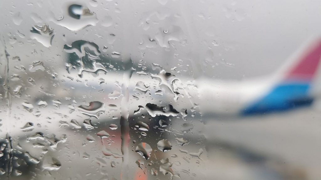
Feature image: A view of this morning’s weather in Cape Town at the city’s international airport, by Andy Walker/Memeburn